Select
Choose an annual Morocco crop map directly from the visualization workspace.
ARD DataHub brings trusted environmental datasets, clear scientific metadata, and interactive geospatial analysis into one focused workspace.
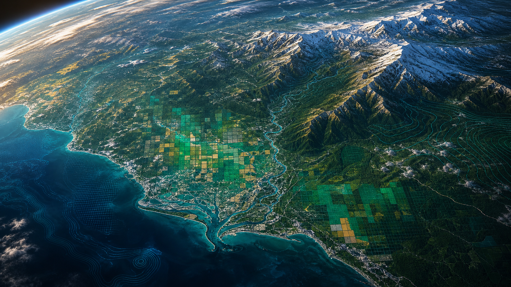
Connected observation
From planetary context to local insight
One connected workflow
Choose an annual Morocco crop map directly from the visualization workspace.
Set a minimum model-confidence threshold to focus on reliable classifications.
Navigate the globe and click mapped pixels to inspect their underlying class values.
A multidisciplinary team connecting Earth observation, data engineering, and accessible product design.
Back-end Engineer
Front-end Engineer
Assistant Professor
PhD Student
PhD Student